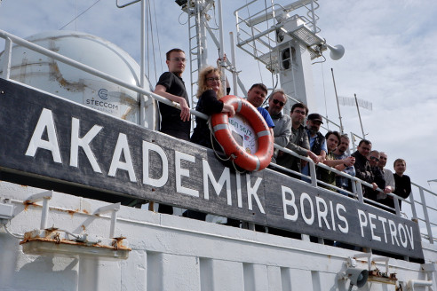
New data on the state of the marine environment under the influence of climate change, obtained by scientists from the Institute of Oceanology of the Russian Academy of Sciences together with the Immanuel Kant Baltic Federal University following the 56th voyage of the RV Akademik Boris Petrov, will form the basis for the development of a regional module for environmental and climate monitoring of the Baltic Sea.
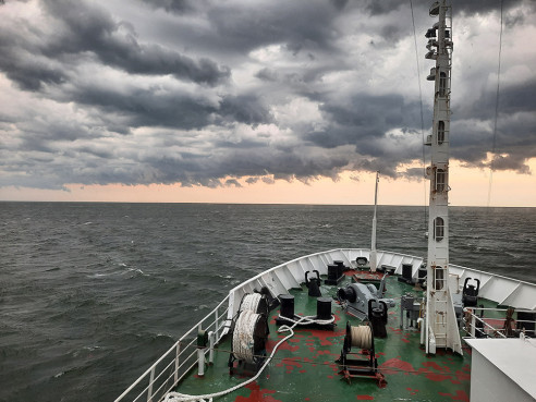
The scientific expedition took place from June 16 to July 13 in the territorial waters and exclusive economic zone of the Russian Federation in the eastern part of the Gulf of Finland and the southeastern part of the Baltic Sea. The purpose of the expedition was to study the state and dynamics of natural complexes and bottom landscapes of the Baltic Sea.
One of the key objectives of the expedition was to study the evolution of marine landscapes, which is necessary for predicting climate change. The morphological features and distribution boundaries of relict forms on the bottom of the Baltic Sea make it possible to reconstruct the sedimentation environment and relief formation under conditions of catastrophic changes in sea level over the past 15 thousand years. During the expedition, scientists managed to compile lithological-facies maps of the bottom, which are basic for geoecological mapping. Landscape maps will form the basis for spatial planning and sustainable development of water areas under conditions of increasing anthropogenic load on the studied water area.
In order to substantiate the configuration of the developed module for climate and environmental monitoring of the Russian sectors of the Baltic Sea and the Gulf of Finland, scientists carried out a comprehensive oceanographic survey to assess the parameters of the thermodynamic and biogeochemical state of the sea, the interaction of "water-air", and assess the flows of greenhouse gases. The work was carried out within the framework of the implementation of the most important innovative project of national importance (VIP GS) under the state program "Science". The project is being implemented jointly with the Immanuel Kant Baltic Federal University. Also, within the framework of the pilot project of the Ministry of Education and Science, a comprehensive oceanographic survey was carried out at the carbon test site in the South-Eastern Baltic to study the components of the carbon balance as one of the main greenhouse gases.
In addition, scientists conducted detailed geophysical studies of underwater dunes in order to clarify the boundaries, thickness, and composition of formations for paleogeographic reconstructions. The study of such forms made it possible to formulate a conceptual model of the formation and preservation of coastal forms during sea level fluctuations. These studies are particularly relevant in connection with the sand body's concentrated reserves of sediments potentially suitable for building up artificial beaches in the Kaliningrad Region. Repeated tacks on previously completed sites made it possible to identify the influence of modern lithodynamic processes on the formation of underwater dunes and clarify their origin.
Comprehensive monitoring of the ecosystem condition of the south-eastern Baltic Sea, conducted by the Atlantic Branch of the Shirshov Institute of Oceanology of the Russian Academy of Sciences since 2003, provides observation of the ecosystem response to changes in water exchange between the deep-sea basins of the Baltic Sea. Oxygen deficiency systematically occurs in the basins, which negatively affects the biota and, as a consequence, biodiversity and fisheries. The rapid expansion of such zones can lead to a serious transformation of the marine ecosystem. This monitoring is one of the primary tasks on the way to the conservation and rational use of ocean resources, taking into account the current challenges of marine nature management.
In total, almost 8,000 km were covered during the expedition, slightly less than the distance from Moscow to Vladivostok. The length of the multi-beam echo sounding survey tacks was 3,448 nautical miles, and high-resolution seismoacoustic profiling (profilograph) – 3,395 nautical miles. Scientists managed to take measurements at 105 stations, install 21 and raise 1 bottom station to measure currents.


